
How do you turn a wooden world map into an interactive geography lesson? In this article, we explore the many educational use cases for a wooden world map in schools, libraries, and other learning environments. Beyond being a beautiful wall décor, a world map can become a hands-on teaching aid – complete with lesson plans, flag pins, and student activities. We’ll discuss classroom sets and library kits, safety and installation in schools, and even give examples of fun lesson templates. Whether you’re a teacher, school administrator, or an edu-retail supplier, learn how these maps can spark curiosity and make learning geography (and history and culture) engaging for students.
1. Educational Value: Skills and Competencies
A wall map isn’t just decoration in a classroom – it’s a dynamic educational tool that builds several student competencies. Firstly, it enhances spatial thinking skills; students learn to visualize locations and distances. National Geographic notes that using and creating maps helps students develop spatial thinking and even language skills. With a 3D wooden world map, lessons become tactile. Students can physically place markers on countries, trace routes, or highlight regions, which reinforces memory through kinesthetic learning. Geography comes alive when a student can point to Brazil on the map in front of them rather than just see it in a textbook. This visual and interactive approach also boosts engagement – as one source highlights, wall maps provide a fun way to learn about geography and keep students motivated . Moreover, the map can be a springboard for cross-curricular learning: in history class, pinpoint where historical events happened; in literature, mark authors’ birthplaces; in science, map out ecosystems or tectonic plates. By doing so, students gain cultural literacy (where countries are, what languages are spoken), improve their critical thinking (why are some cities located where they are? how do geography and climate influence culture?), and even practice collaboration when working in groups on map activities. In summary, the map supports a range of competencies from factual knowledge to analytical skills, all while keeping the learning process interactive and enjoyable.
2. Classroom, Library, Travel Club Sets — What’s Included
To make the most impact, specialized kits for different educational settings can be created. For example, a Classroom Set might include the wall map itself (size L or XL so it’s visible to the whole class), a set of country flag pins for activities, stick-on labels or stickers for naming oceans and continents, and a teacher’s guide with suggested exercises. It could even have multiple smaller maps for group work or a puzzle version for younger kids. A Library Set might focus more on self-guided exploration: imagine an XL map mounted in the library reading area, accompanied by a legend or reference panel. It could include a stack of “challenge cards” for students (like scavenger hunt questions: “Find a country that starts with A and place a pin there”). Libraries could also have a digital element – perhaps a tablet kiosk next to the map with an interactive quiz or an app that when you point your camera at a country on the map, it pops up facts about it (augmented reality learning). For a Travel Club or Geography Club, a kit can be more expansive: include a push-pin set where club members mark places they or their families have been, different colored pins for places they want to go, string to connect routes of famous explorers, etc. This set might also come with 3D accessories like little wooden planes or ships that can be pinned on to mark historic voyages (e.g., the route of Magellan’s circumnavigation). All these sets should come with detailed lesson or activity plans to maximize use. The idea is that each context – whether a formal classroom lesson, a library’s passive learning corner, or an extracurricular club meeting – has materials tailored to it. For instance, a classroom set might prioritize alignment with curriculum standards (like including a worksheet on capital cities), whereas a library set prioritizes discovery and a club set prioritizes collaborative projects. By packaging the maps with these extras, educational institutions get a turnkey solution, not just a map on the wall.
3. Safety, Installation, and Care in Schools
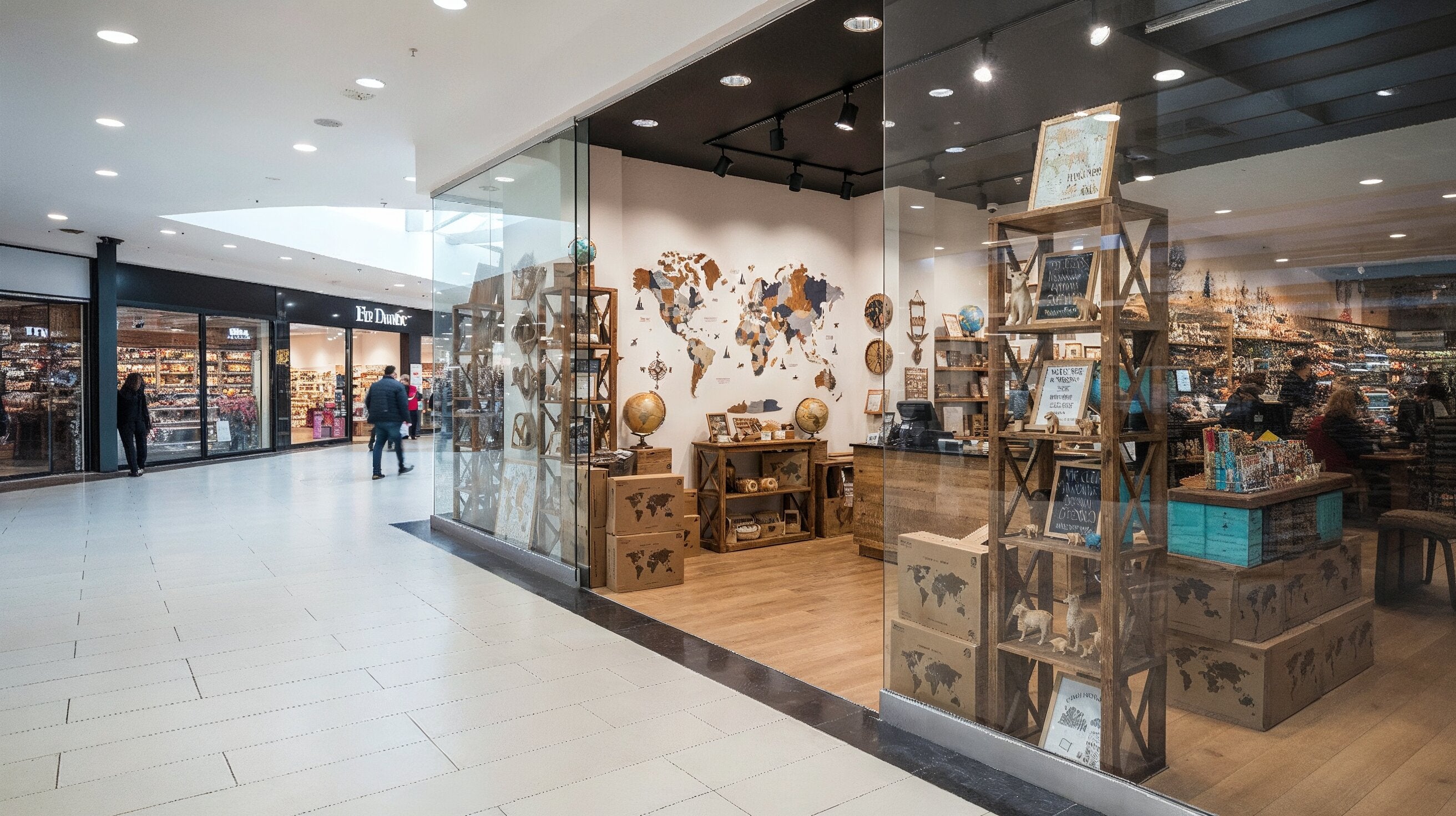
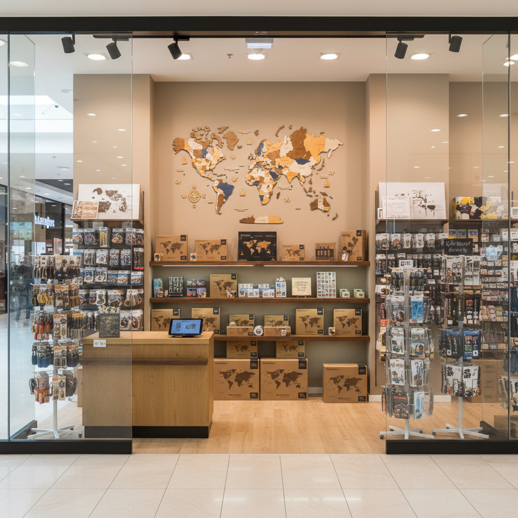
Schools and kids’ spaces have unique considerations for safety and maintenance. The good news is that these wooden world maps typically use a no-drill installation – often they come with special adhesive strips or foam backing tape. This means you can mount the map on classroom or library walls without using nails, preserving the wall and avoiding tools. Always follow the mounting instructions; for example, test a small adhesive on your wall surface first. In a classroom, ensure the map is mounted high enough that younger kids can’t easily peel pieces off, but low enough that it’s at eye level for teaching. You might even consider using additional safety measures like a transparent acrylic cover in high-traffic areas (though this can reduce tactile use). The wooden pieces are usually light, and if properly installed, they won’t easily fall – still, it’s smart to periodically check that all pieces are secure, especially after weekends or events (just run your hand and press gently on each region to confirm adhesion).
The material of these maps is often plywood or MDF – generally safe, but verify that the product uses non-toxic finishes(most reputable brands do). No splinters or sharp edges should be exposed; pieces are laser-cut for precision. For maintenance, cleaning can be done with a soft dry cloth or a dust brush. Avoid excessive moisture or spray cleaners, as wood can warp or the adhesive could loosen. If a piece does get damaged or lost (we know how energetic kids can be!), many suppliers offer replacements – for instance, a lost island or a snapped airplane cutout can be reordered, sometimes free under warranty. For flexibility, note that if you ever need to remove the map (say you’re moving classrooms), the adhesive can often be softened with a hairdryer to peel off without major wall damage – another plus for school use. Lastly, consider accessibility: pairing the map with a key or braille overlay could make it more inclusive for visually impaired students (some schools have done creative tactile augmentations for maps). Safety and care boil down to using the right mounting method, keeping it clean, and utilizing supplier support for any upkeep issues – ensuring the map remains a beloved fixture in your learning space for years.
4. Lesson Examples and Templates
Let’s dive into some concrete lesson ideas that use the map as a central tool:
-
Geography Lesson – “Travel the World”: Break students into small groups and assign each group a continent or region on the map. Each group gets a set of flag pins and a task card (for example: “Mark 5 Spanish-speaking countries and present one fact about each”). Students place the pins on their assigned part of the map. Then groups take turns sharing what they’ve marked. This hits on geography (countries & languages) and social studies (cultural facts). The teacher’s template for this lesson could be provided in the kit, including a printable table for students to fill in country names and facts.
-
History Lesson – “Global Timeline”: Prepare small tags (maybe sticky notes or paper pieces with a bit of blu-tack) with major historical events (e.g., “First Moon Landing 1969 – USA” or “Machu Picchu built ~1450 – Peru”). Students must place each tag on the correct country or region. As a class, discuss the events in chronological order while literally mapping them. A provided template might include a list of suggested events and a blank world outline for planning.
-
Math/Science – “Distance and Scale”: Use a string or yarn to measure distances on the map (the scale can be calculated since you know the map’s width corresponds to Earth’s real width). Students can work out, say, the distance between two capitals by using the string and a ruler. The teacher can then connect it to a math lesson on ratios and scale. A worksheet template could guide them: “1 cm on the map = X km in real life. How far is it from London to Cairo on the map? Now calculate actual distance.”
-
Interactive Quiz – “Where in the World?”: One student picks a “mystery country” and gives clues (“This country has the Alps”, “Official language is German…”). Other students come up to the map and point or stick a pin on the country they think it is. The correct answer is then revealed. This can be turned into a weekly activity with points for the first right answer, fostering a fun competitive learning environment.
-
Art & Culture – “Postcards from Around the World”: Assign each student a country (or let them choose one they have a connection to). They create a “postcard” from that country (drawing something symbolic, writing a greeting in the local language). Then pin all postcards around the map at their locations. This creates a vibrant display and a learning showcase for open houses or parent nights. Templates for a blank postcard outline can be part of the kit.
All these lesson ideas can come with pre-made templates and instructions as part of the map’s educational resources. By having these ready, teachers save time and can quickly integrate the map into their curriculum. And of course, teachers will innovate further – the possibilities from using a world map interactively are as vast as the world itself!
5. How to Procure Through a Dealer or Program
For schools or educational institutions interested in these maps, procurement often needs to follow certain channels. If the wooden maps are offered through an edu-retail distributor or dealer, you may be able to get special pricing (education discounts) or bundle deals. Check if the company has a Schools Program or works with instructional supply catalogs; many times, you can request an educational price list (for example via the B2B education link on the company’s site). This price list might include the various sets (Classroom, Library kits) we described.
Sometimes schools go through a bidding or approval process. If that’s the case, gather the needed info: product specifications, safety certifications (important for school boards), and references from other school deployments if available. Dealers might provide a quote inclusive of shipping and even installation service if multiple maps are being set up across a district. It’s also worth exploring if there are grant programs or subsidies for geography education tools – occasionally, local education foundations fund these kinds of purchases, especially if you frame it as enhancing STEM or social studies resources.
When ordering, clarify if you need an official purchase order (P.O.) – many educational suppliers are used to net-30 payment terms via school finance departments. The company might also have a reseller or local partner who can visit your school to demo the map before you commit – useful to ask. If buying through a dealer, ensure you communicate which language version or edition you need (for example, some schools might want all English labels, whereas an international school might want bilingual). Also, discuss lead time with the dealer: school budgets often need equipment by the start of term, so order well in advance.
Finally, after procurement, consider training or orientation. A good dealer or manufacturer rep will offer a quick training session for teachers – basically walking them through the kit contents, how to mount it, and perhaps running one demo lesson. This helps ensure the maps don’t just sit on the wall as decoration, but actively get used in teaching. In summary, leverage the structured channels for purchasing (price lists, P.O.s, authorized dealers) to simplify buying, and take advantage of any educational support the supplier offers post-purchase.
Transform your classroom with interactive map learning. Request the education price list and get special school kits and support for bringing geography to life.
FAQ (Education & School Use):
-
Q: How long does it take to install the map in a classroom?
A: Installation is relatively quick – typically about 1 hour for a large map. The set comes with templates and adhesive, so a teacher or facilities staff can do it without special tools. It’s a bit like a big puzzle; you lay out the paper guide on the wall, then place each piece. We recommend two people working together for an XL map to make placement easier.
-
Q: Can we mount it without drilling holes?
A: Yes, the wooden maps are designed for no-drill installation. They use strong double-sided foam adhesives or removable wall tape. This means you don’t need to put screws or nails in the wall, which is ideal for schools (less wall damage). The adhesive is usually classroom-friendly: it sticks well, but with careful removal (often by warming it up) it can come off if needed.
-
Q: Do you have maps of regions or just the world?
A: While the flagship product is the world map, many suppliers do offer regional versions – for example, a map of Europe, North America, Asia, etc., or even country maps (like a map of the USA with states). Check the catalog or ask – if your curriculum focuses on a certain region for a term, it might be useful to have a matching map. Some schools get the world map for the main area and then smaller regional maps for specific classrooms (like a U.S. map in American History class). If a regional map you need isn’t available, you can sometimes custom-order it or use the world map to zoom in on that area with the class.
-
Q: Are the materials safe and durable for a school environment?
A: Absolutely. The maps are made from precision-cut wood (often plywood or fiberboard) with non-toxic finishes. There are no sharp edges; pieces are smooth to the touch. They are durable enough to handle gentle student interaction (placing pins, etc.). For very young children, supervision is advised mainly because of small parts (e.g., push-pin flags could be a choking hazard if not used properly – so these maps are best for upper elementary and above, or placed out of reach of toddlers). The adhesive holds pieces firmly to the wall, so under normal use they won’t fall off. In terms of care, simply dust occasionally. Many educational institutions have had these maps up for years with no issues.


Share: